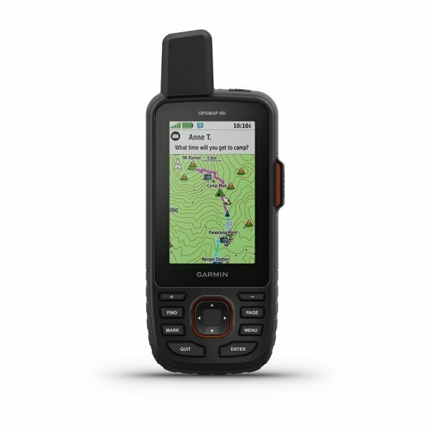
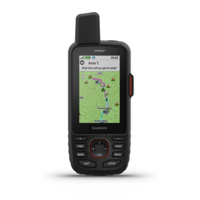
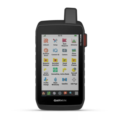
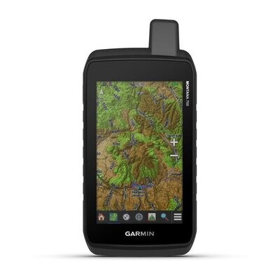
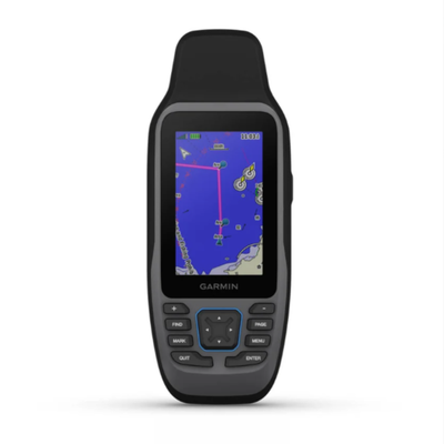
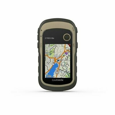
La navegación precisa se une a la comunicación global en el resistente GPSMAP 66i: un dispositivo de mano GPS y de comunicación por satélite1 accionado por botones que incluye mapas TopoActive de Europa y la tecnología inReach® de Garmin.
Características físicas y de rendimiento |
|
| DIMENSIONES FÍSICAS | 6,6 x 16,3 x 3,5 cm |
|---|---|
| TAMAÑO DE LA PANTALLA (ANCHURA X ALTURA) | 3,8 x 6,3 cm; 7,6 cm en diagonal (3") |
| RESOLUCIÓN DE LA PANTALLA (ANCHURA POR ALTURA) | 240 x 400 píxeles |
| TIPO DE PANTALLA | TFT transflectiva en color |
| PESO | 241 g |
| BATERÍA | Ión-litio recargable |
| AUTONOMÍA DE LA BATERÍA | Hasta 35 horas en modo de seguimiento cada 10 minutos y hasta 200 horas en modo de bajo consumo, con intervalos se seguimiento cada 30 minutos |
| CLASIFICACIÓN DE RESISTENCIA AL AGUA | IPX7 |
| MIL-STD-810 | sí (calor, electricidad, agua) |
| RECEPTOR DE ALTA SENSIBILIDAD | |
| INTERFAZ | high speed micro USB and NMEA 0183 compatible |
| MEMORIA/HISTORIAL | 16 GB |
Mapas y memoria |
|
| MAPAS PREINSTALADOS | Sí (topográficos) |
|---|---|
| POSIBILIDAD DE AGREGAR MAPAS | Sí |
| MAPA BASE | Sí |
| CREACIÓN AUTOMÁTICA DE RUTAS (GIRO A GIRO EN CARRETERA) | Sí |
| SEGMENTOS DEL MAPA | 15000 |
| BIRDSEYE | yes (direct to device) |
| INCLUYE CARACTERÍSTICAS HIDROGRÁFICAS DETALLADAS (LITORALES, LÍNEAS DE COSTA DE RÍOS O LAGOS, HUMEDALES, ARROYOS PERENNES Y ESTACIONALES). | Sí |
| INCLUYE BÚSQUEDAS DE PUNTOS DE INTERÉS (PARQUES, CAMPINGS, MIRADORES PANORÁMICOS Y SITIOS DE PÍCNIC). | Sí |
| MUESTRA PARQUES NACIONALES, ESTATALES Y LOCALES, BOSQUES Y ÁREAS NATURALES. | Sí |
| ALMACENAMIENTO Y CAPACIDAD DE CARGA | Tarjeta microSD™ (no incluida) |
| WAYPOINTS | 10 000 |
| PISTAS | 250 |
| TRACK LOG | 20 000 puntos, 250 tracks gpx guardados y 300 archivos de ejercicio almacenados |
| RUTAS | 250 |
| RINEX LOGGING | Sí |
Sensores |
|
| GPS | Sí |
|---|---|
| GALILEO | Sí |
| ALTÍMETRO BAROMÉTRICO | Sí |
| BRÚJULA | Sí (tres ejes con inclinación compensada) |
| BRÚJULA GPS (MIENTRAS SE ESTÁ EN MOVIMIENTO) | Sí |
Funciones inteligentes diarias |
|
| CONNECT IQ™ (CARÁTULAS DE RELOJ DESCARGABLES, CAMPOS DE DATOS, WIDGETS Y APLICACIONES) | Sí |
|---|---|
| NOTIFICACIONES INTELIGENTES EN DISPOSITIVOS PORTÁTILES | Sí |
| TIEMPO | Sí |
| CONTROL REMOTO VIRB® | Sí |
| COMPATIBLE CON GARMIN CONNECT™ MOBILE | Sí |
| ACTIVE WEATHER | Sí |
Funciones de seguimiento y seguridad |
|
| LIVETRACK | Sí |
|---|---|
Funciones para actividades de ocio y al aire libre |
|
| NAVEGACIÓN PUNTO A PUNTO | Sí |
|---|---|
| COMPATIBLE CON BASECAMP™ | Sí |
| CÁLCULO DE ÁREAS | Sí |
| CALENDARIO DE CAZA Y PESCA | Sí |
| INFORMACIÓN ASTRONÓMICA | Sí |
| XERO™ LOCATIONS | Sí |
| MODO GEOCACHING | Sí (geocachés en directo) |
| COMPATIBLE CON LOS MAPAS PERSONALIZADOS | Sí (500 mosaicos de mapa personalizados) |
| VISOR DE IMÁGENES | Sí |
| LINTERNA DE BALIZA LED | Sí |
inReach® Features |
|
| SOS INTERACTIVO | Sí |
|---|---|
| ENVÍO Y RECEPCIÓN DE MENSAJES DE TEXTO A SMS Y CORREO ELECTRÓNICO | Sí |
| ENVÍO Y RECEPCIÓN DE MENSAJES DE TEXTO A OTRO DISPOSITIVO INREACH | Sí |
| INTERCAMBIO DE UBICACIONES CON OTRO DISPOSITIVO INREACH | Sí |
| MAPSHARE COMPATIBLE CON EL SEGUIMIENTO | Sí |
| TECLADO VIRTUAL PARA MENSAJERÍA PERSONALIZADA | Sí |
| COMPATIBLE CON INREACH® | Sí |
Outdoor Applications |
|
| COMPATIBLE CON GARMIN EXPLORE™ PARA WAYPOINTS, TRACKS, RUTAS Y ACTIVIDADES | Sí |
|---|---|
| COMPATIBLE CON EL SITIO WEB GARMIN EXPLORE | Sí |
Conexiones |
|
| CONECTIVIDAD INALÁMBRICA | yes (Wi-Fi®, BLUETOOTH®, ANT+®) |
|---|---|
Adicional |
|
| CARACTERÍSTICAS ADICIONALES |
|
|---|---|
Tiempos de entrega:

